CURRENT/ONGOING PROJECTS
- Silvies Sub-basin Hydraulic Model Development
- Remote Sensing Estimate of Beaver Occupancy, Habitat Quality, Water Storage and Carbon Storage in the Harney Basin
A study of beaver reintroduction potential and water storage potential from beaver restoration to help landowners with information. To identify the opportunity to store water in the upstream portion of the Silvies River and Silver Creek for later year flows. The analysis will use methods developed for Utah* and applied in the John Day Basin as a tool to identify the potential to store water in the upper portion of the basin.
Elements of the project will include a survey of multiple years of publicly available aerial and satellite imagery to identify beaver dams, canals and lodges. For areas of identified most recent beaver activity the contractor has access to a high resolution satellite imagery to spot check. In areas were beavers are not found, nearby areas will be surveyed to identify the closest active dams. Raw beaver dam location data will be kept private and provided directly to the sponsor.
A combination of BRAT habitat modeling (current and historic) and remote sensing identification of current existing wet floodplains (around current beaver dams and in potential beaver habitat). Model outputs will be made publicly available per open science guidelines from the modeling partners .
Surface water storage and carbon storage estimates in beaver ponds in historic, present and potential future occupancy.
Areas of potential beaver habitat restoration will be provided.
- Five Mile Dam Design
- Open ET
- Harney County is now home to two Agrimet stations. Information for the two sites can be located on the Agrimet Website hosted through US Bureau of Reclamation. These stations provide weather information to help farmers/ranchers with crop water use. To access the data for these two sites you can Google Agrimet, navigate to the Pacific Northwest page and under “Station Information” you will find a list of stations available. Harney County locations are at OWEN’s Hay in Crane and the second at the Eastern Oregon Agricultural Research Center. These are not in order but at the bottom of the list, or can be accessed below.
- https://www.usbr.gov/pn/agrimet/agrimetmap/eoroda.html
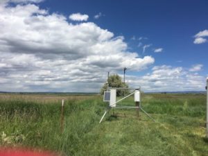 The EOARC station
- https://www.usbr.gov/pn/agrimet/agrimetmap/ownoda.html
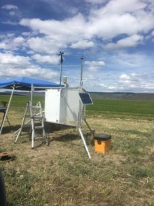 Owens Hay station
- https://www.usbr.gov/pn/agrimet/agrimetmap/ownoda.html
- https://www.usbr.gov/pn/agrimet/agrimetmap/eoroda.html
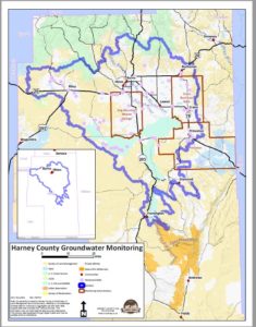
- Groundwater monitoring – Phases 1 & 2 are OWEB grants to monitor static water levels in several areas in the Harney Basin that have been exhibiting declining water levels, and those areas inside the Greater Harney Basin Area of Concern. Results are shared with OWRD and readings are made available on their interactive map on the OWRD website. This grant is now closed.
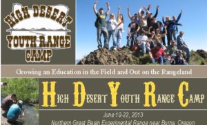
- High Desert Youth Range Camp (HYDRC) – A four day camp held at the Northern Great Basin Experimental Range for high school age kids to learn about sagebrush steppe habitat, cooperative management and explore career opportunities in natural resources from the scientists at the Eastern Oregon Agricultural Research Center. College credit through Treasure Valley Community College is available for participants.
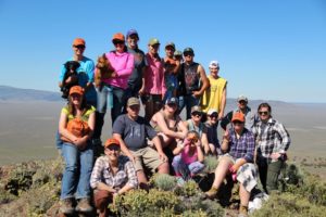
- Science in the Sagebrush Steppe – A three day camp held at the Northern Great Basin Experimental Range for college natural resource majors to further habitat management skills from the scientists at the Eastern Oregon Agricultural Research Center. Colleges who have participated include University of Idaho, University of Nevada – Reno, Shasta College
- Harney Basin Lidar Analysis – Lidar was flown over the Refuge and southern portions of the Harney Basin. In Partnership with Ducks Unlimited the council received an OWEB grant to analyze the raw data. This analysis will be shared with partners of the Harney Basin Wetlands Initiative to be used in planning future projects.
- Silver Creek Sub-Basin LiDAR Analysis – through the Harney Basin Wetlands Focused Investment Partnership, LiDAR was flown for the Silver Creek Sub-basin. Analysis is being provided by DOGAMI which will help with planning restoration projects to inhibit carp from moving up Silver Creek out of Moon Reservoir.
- Kids Club Outdoor School – An OWEB grant to help provide middle school kids with an opportunity to spend several Fridays exploring the different landscapes of Harney County. Partners include the Kids Club, Malheur National Wildlife Refuge, Harney County Watershed Council, Burns Paiute Tribe, Harney County Cooperative Weed Management Association, Burns District BLM, US Forest Service and High Desert Partnership.
- Carp Biomass/Threshold Project – A project partnering with the Malheur National Wildlife Refuge, to determine what level of carp that aquatic vegetation can withstand and still survive. Results of this smaller scale project will help determine levels for Malheur Lake. This project is a part of the Harney Basin Wetlands Initiative.
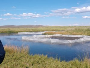
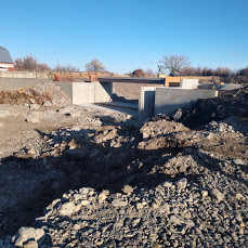
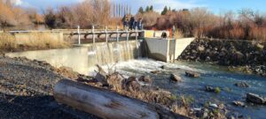
- Silvies River Irrigation Structure Replacement – Partnering with Ducks Unlimited the council is providing fiscal services to improve irrigation structures in the Silvies River floodplain to improve and protect flood irritation practices for migrating birds in the pacific flyway.
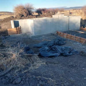
- Sweek Dam Structure Replacement – Part of the Harney Basin Wetlands Initiative and partnering with Ducks Unlimited the council also provided fiscal services to replace the Sweek Dam on the Silvies River. These projects are improving and protecting flood irrigation practices for migrating water fowl on the Pacific Flyway and providing much safer working conditions for irrigators.
SMALL GRANT PROJECTS
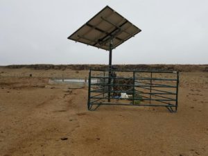
- Kimball Grazing Small grant – this project included installation of a solar pump and fencing to help with cattle distribution and grazing management.
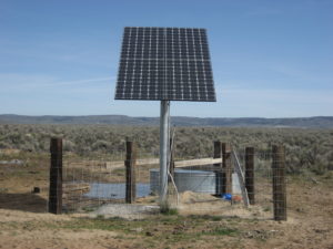
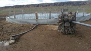
- Finwick Range Improvement Small grant – This project included fencing and trough installation to help with cattle distribution and grazing management.
- Craft Point Juniper Burning Small grant – This project assisted a landowner with burning of juniper piles after a juniper management project to alleviate landowner liability, and to remove piles, seed the bare areas to restore habitat diversity.
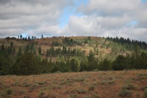
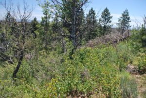
- Kesling Wetland Reconstruction Small grant – This project included the installation of a solar pump to assist a landowner with providing continuous water to a pond for nesting water birds. The project will included seeding and invasive weed management.
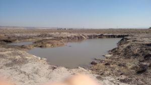
- Big Stick Solar Development Small grant – This project assisted a landowner with installation of a solar pump to provide water for both livestock and wildlife over a large area where no other water is available.
